01 Guldkorn kring Svartån
Guldkorn kring Svartån is a guide to the small places along the Svartån river in Småland — farm shops, cafés, heritage farms, nature reserves, somewhere to sleep. Seventy-six of them, collected by the people who live there, and most of them easy to drive straight past.
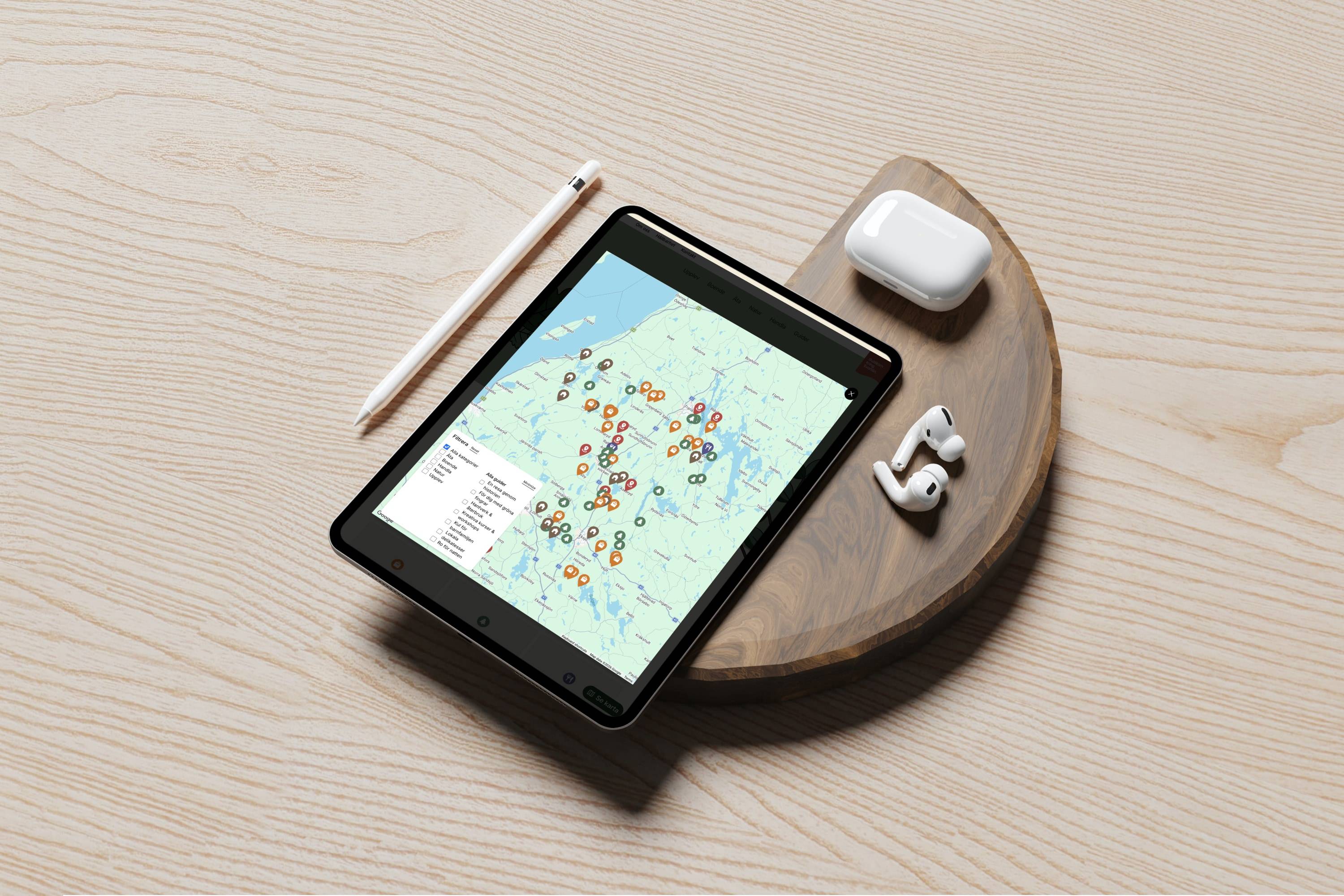
The site is organised around a map rather than a menu. Every place carries a coordinate, and the map is built on the Google Maps JavaScript API rather than dropped in as an embed. The default Google interface is switched off completely and the tiles are restyled through a cloud map ID, so the map arrives in the same muted greens as the rest of the site. Each pin is the project’s own SVG, one per category, placed as an Advanced Marker — a real DOM element rather than a flattened image.
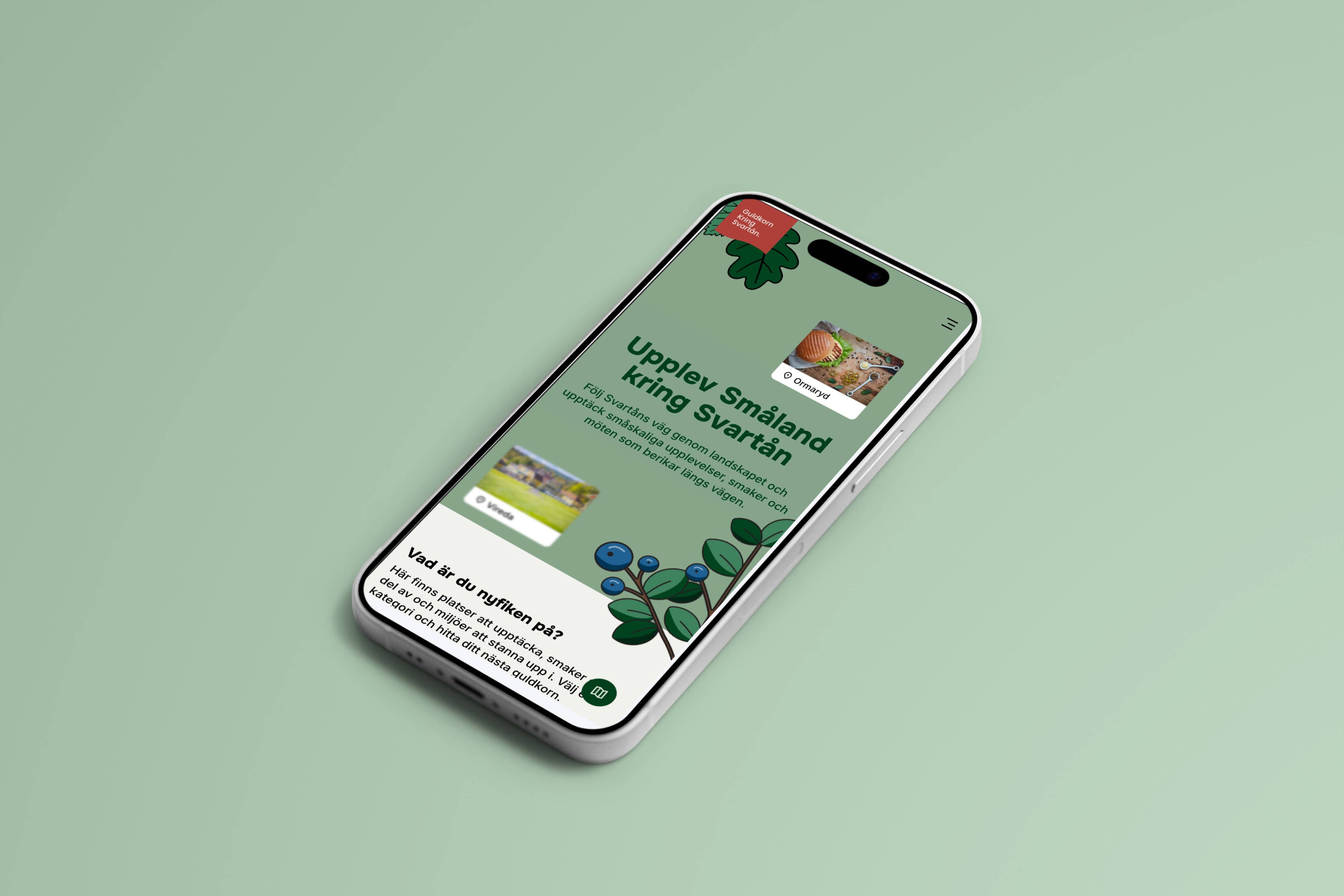
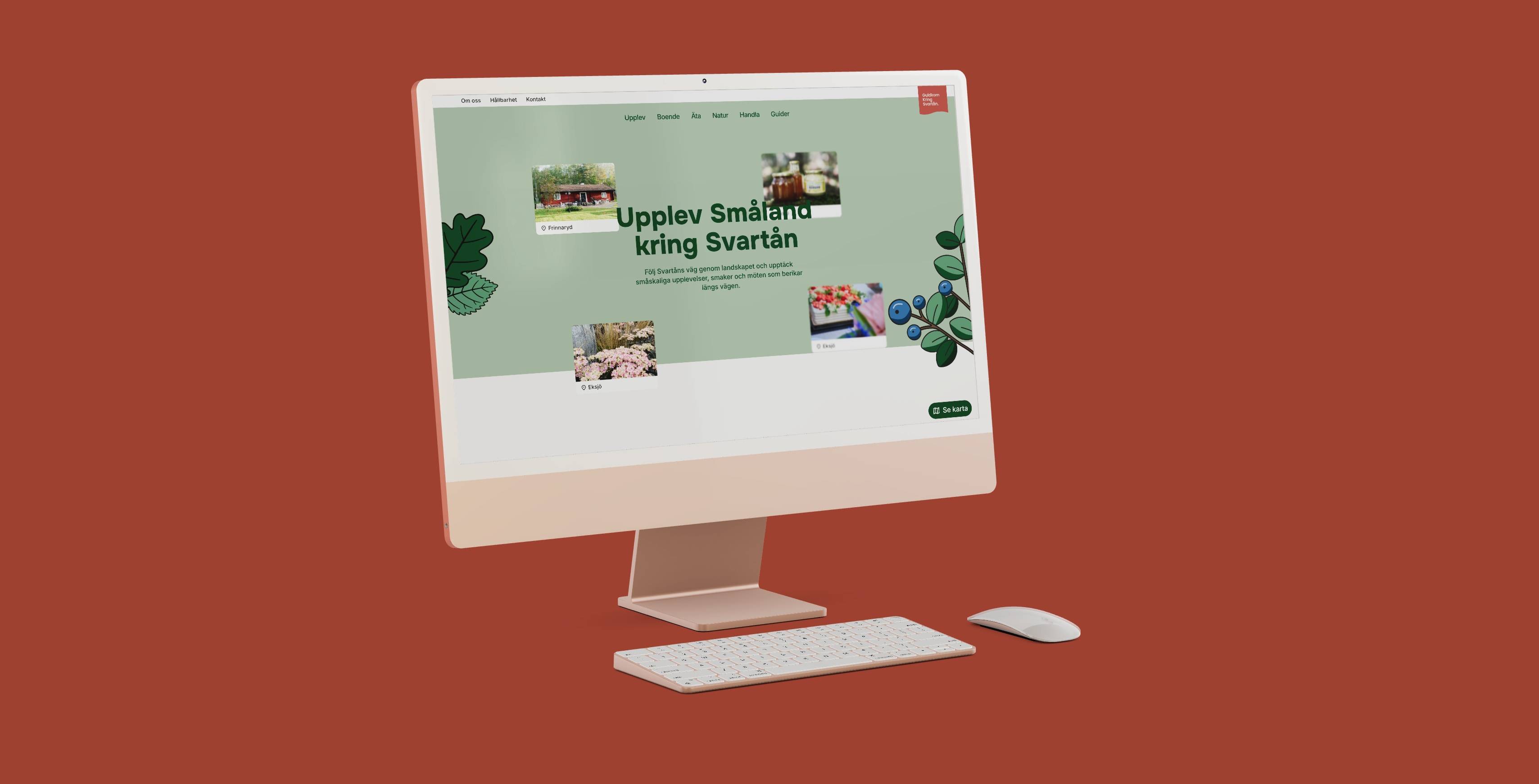
A button fixed in the corner opens the map from anywhere on the site — a labelled pill on a desktop, a plain circle with an accessible name on a phone. Opening a pin gives you the photograph, the category tag in that category’s colour and a link through to the place itself. The pins filter in place — by category, or by one of the seven themed guides — with no page reload, and every place page carries its own small map showing just that one location. The API loads asynchronously and only once the map is opened, so the rest of the site does not pay for it.
My colleague at Wirke designed it. I did the development. The map was drawn as a flat layout — making it hold real coordinates, two sets of filters and a full set of styled pins was the part that happened in code.